Features
Agronomy
Soil
Detailed tracking of soil, environmental properties
November 6, 2014 - Soil is constantly changing, and during the last several decades, it is increasingly subjected to stressors, from the effects of climate change to newly implemented management practices. While soil description systems already exist, enhanced ways of tracking properties of the surface layer of the soil – also called topsoil, or on a more technical level, the soil A horizon – requires a methodology or framework that includes information not only on the various soil properties, but also the environmental and land use setting.
Dr. Catherine Fox, a soil scientist at Agriculture and Agri-Food Canada (AAFC) in Harrow, Ont., along with other researchers at AAFC (Charles Tarnocai and David Kroetsch at the Eastern Cereals and Oilseeds Research Centre in Ottawa and Elizabeth Kenney at the Pacific Agri-Food Research Centre in Agassiz, B.C.) and in collaboration with scientists in Germany (Dr. Gabriele Broll at University of Osnabrück and Dr. Monika Joschko at ZALF-Müncheberg) have developed an enhanced A Horizon Framework to facilitate such detailed recording.
The Framework, together with its electronic Field Form, allows for recording of field data using a system that – for each soil sample at the time of collection – generates a unique combination of symbols and coding known as a “soil fingerprint.” The generation of multiple soil fingerprints for one or more soils provides a database to help enable farmers, scientists and land-use decision-makers identify what is happening over time at both the field and landscape scale. Such information is invaluable for assessing the effectiveness of best management and remediation practices, and determining the impact of various environmental and urban-industrial related stressors.
The creation of the Framework required the developing of enhanced descriptors for soil properties known to be related to soil quality, designed to be applicable both nationally and internationally. The roster of traditional A horizon soil descriptors was expanded to link together information on soil processes and properties with environment and land use data. This involved collaboration between soil researchers from both Canada and Germany.
The researchers identified key properties that affect the quality of soil and are subject to dynamic change. These include soil structure (e.g. occurrence of the kinds and sizes of soil aggregates which affect the extent of infiltration and movement of water), bulk density (extent of compaction), organic matter content (required for maintaining nutrient availability), pH (measure of acidity and alkalinity) and electrical conductivity (measure of salinity). The Framework also included descriptors for soil texture (clay, silts and so on), landscape slope characteristics, and current land use and soil surface conditions.
The descriptors are then amalgamated into a combination of symbols that form the soil fingerprint – a snapshot of the state of the soil at the time of observation. “Because the soil fingerprint is written as a single line of text, when it’s matched with fingerprints at other points in time during the growing season or from successive years, or obtained at different locations in the field or landscape, it’s easy to identify where change has taken place,” Fox notes. “Changes and trends are easily flagged and can then be acted on.” Soil fingerprints can also be created from past soil surveys using the Framework to provide a baseline of information for comparison with current conditions.
Field Form
The electronic Field Form was developed to provide a way to easily manage the data, since there can be a large amount of information involved if all Framework options and levels are included when describing the soil surface layer. The Field Form is interactive so that whoever is doing a soil assessment in the field is able to enter data directly.
There are other benefits to using the Field Form. For example, Fox explains that as the data for the soil properties, such as soil structure types or pH, are being recorded in the Field Form, the soil descriptor values and codes for these soil properties will be automatically written into the soil fingerprint. The electronic form is also flexible, allowing users the choice to select the level of description and options that are most suitable for their study. For example, different soil properties may be required to be able to monitor how different management practices have affected soil in an area, or to compare how different landscape features have affected the upper soil layer.
The Framework was also designed to be able to include additional codes to focus on particular areas of interest, such as water flow, root distribution or soil organism populations. And having the Framework data in digital format also means the stored values can be easily transferred into other software programs to analyze trends in soil change, or to build models that aid in decision-making.
Refining the system
Further work to refine the Framework and Field Form is now occurring in collaboration with soil specialists with the Ontario Ministry of Agriculture, Food and Rural Affairs (OMAFRA), researchers from the Ridgetown campus of the University of Guelph and the aforementioned institutions in Germany. This new work is part of the knowledge and technology transfer (KTT) stage of this research, co-led by Natalie Feisthauer, a land resource scientist at the AAFC Ontario KTT Office in Guelph and David Kroetsch, from AAFC in Ottawa.
The goal of this phase of the project is to facilitate the transfer of the Framework and Field Form to the agricultural community, both to specialist and non-soil specialists. “We will be gathering input on how the Framework works under different applications, field conditions, farming systems and management conditions as well as how the Field Form can be enhanced,” says Feisthauer, “including expanding and further validating the descriptors.”
When the Framework is finalized, training workshops will be planned for researchers, extension staff and farmers, and other members of the agricultural community who may wish to use the Framework on their own or in conjunction with a consultant or researcher. Feisthauer says those who conduct environmental site assessments will also be invited to learn about the Framework. An integral part of this phase of the project is to develop additional resource and guidance materials, both in electronic and written form, with a focus on users not familiar with the underlying soil science concepts and terminology involved. “This guidance will include not only how to correctly collect and input the data, but also how to properly interpret the identified soil fingerprint changes,” Feisthauer says.
This is an exciting advancement for those who study and manage our soil, as soil quality is obviously of paramount importance for crop cultivation success, minimizing and mitigating erosion, and so much more. “If we don’t have detailed information about our soil to be able to identify the kind of changes happening over time, it’s much more difficult to know if the soil is at its optimum quality to sustain growing crops and supporting livestock and animal production,” says Fox.
November 6, 2014 By Treena Hein
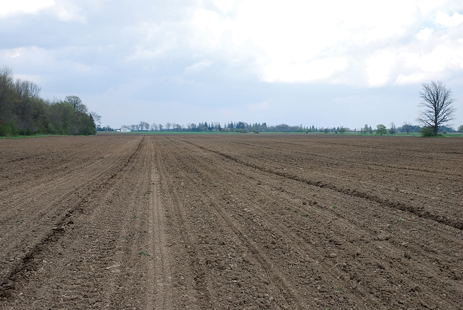 Researchers working on the enhanced A Horizon Framework identified key properties that affect the quality of soil. Soil is constantly changing